 TributeLegacy
Memorial · Sydney
Sydney - Nagoya, Sister Cities
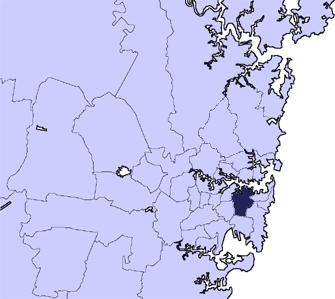
The City of Sydney is the local government area (LGA) encompassing the Sydney central business district (CBD) and the surrounding inner city suburbs of Greater Sydney, New South Wales, Australia. Established by an Act of Parliament in 1842, the City of Sydney is the oldest, and the oldest-surviving, local government authority in New South Wales, and the second-oldest in Australia, with the City of Adelaide being older by two years. Given its prominent position, historically, geographically, economically and socially, the City of Sydney has long been a source of political interest and intrigue. As a result of this, the boundaries, constitution and legal basis of the council have changed many times throughout its history, often to suit the governing party of the State of New South Wales. The City of Sydney is currently governed under the City of Sydney Act 1988, which defines and limits the powers, election method, constitution and boundaries of the council area. On 6 February 2004, the former local government area of the City of South Sydney, which itself had been created in 1989 from areas formerly part of the City of Sydney (including Alexandria, Darlington, Erskineville, Newtown and Redfern), was formally merged into the City of Sydney and the current city boundaries date from this merger. The leader of the City of Sydney is known as the Lord Mayor of Sydney, currently held since 27 March 2004 by Clover Moore, who also served concurrently as the state Member of Parliament for Sydney and Bligh from 1988 to 2012.
Source: OpenStreetMap contributors (ODbL). Geographic data via OpenStreetMap.