
WAR MEMORIALwar memorial · Scotland
Bedlington War Memorial
Click to remember them. Lest we forget.

Northumberland () is a ceremonial county in North East England, on the border with Scotland. It is bordered by the North Sea to the east, Tyne and Wear and County Durham to the south, Cumbria to the west, and the Scottish Borders council area to the north. The town of Blyth is the largest settlement. Northumberland is the northernmost county in England. The county has an area of 5,013 km2 (1,936 sq mi) and had an estimated population of 331,420 in 2024, making it the least-densely populated county in England. The south-east contains the largest towns: Blyth, Cramlington, Ashington, Bedlington, and Morpeth, the last of which is the administrative centre. The remainder of the county is rural, the largest towns being Berwick-upon-Tweed in the far north and Hexham in the south-west. For local government purposes Northumberland is a unitary authority area. The county historically included the parts of Tyne and Wear north of the River Tyne. The west of Northumberland contains part of the Cheviot Hills and North Pennines, while to the east the land becomes flatter before reaching the coast.
Photographs


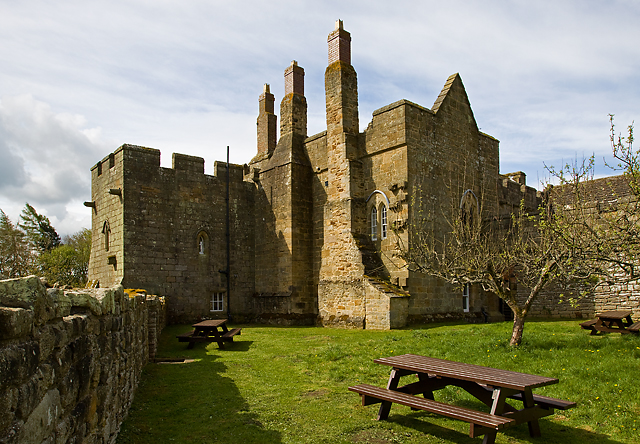
Images via Wikimedia Commons - click to view licensing & full resolution.
Source: OpenStreetMap. Geographic data via OpenStreetMap.