
blue plaque · Norwich
Bell Hotel, Norwich
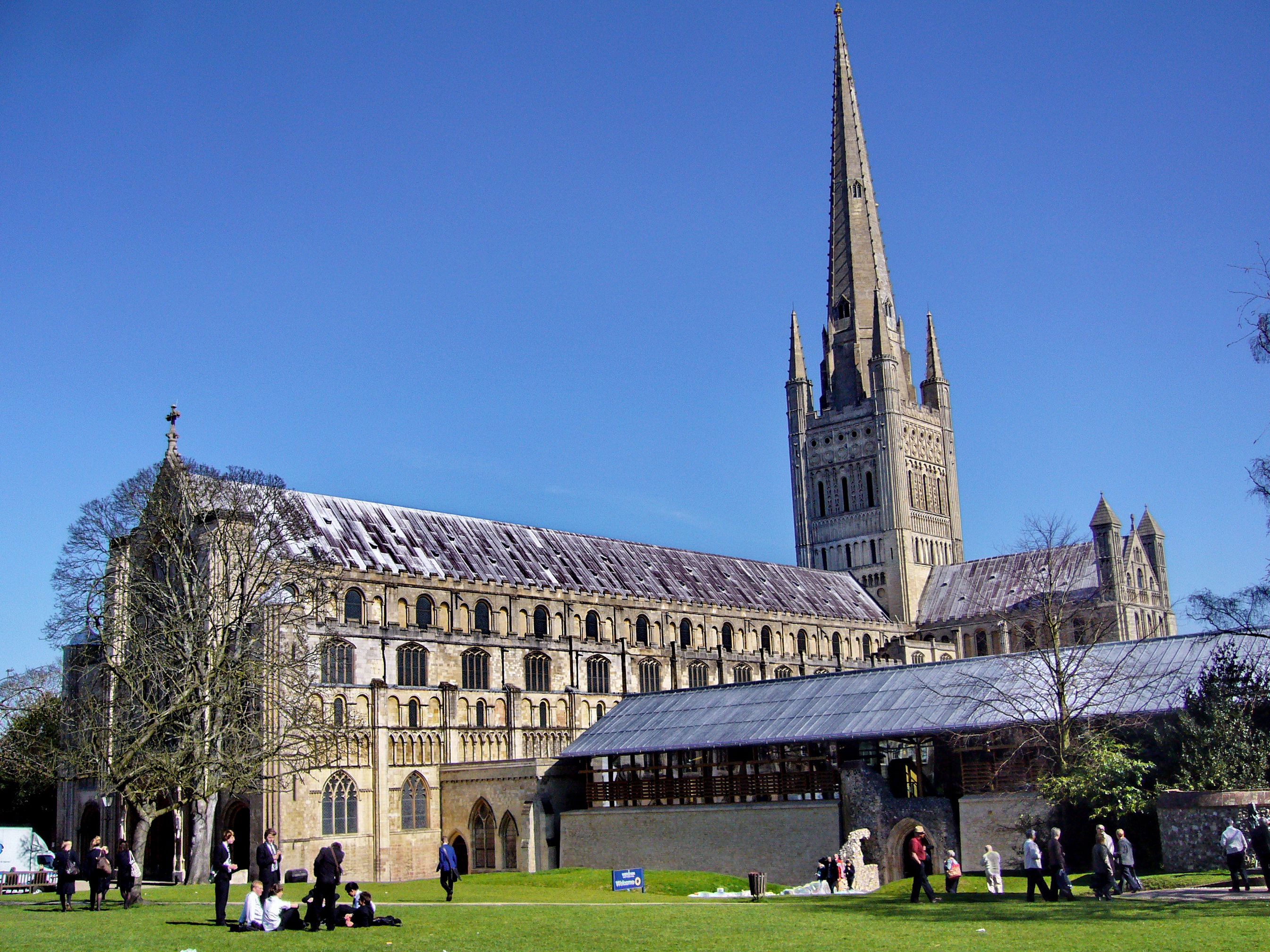
Norwich, a cathedral city nestled by the River Wensum, holds a significant place in the county of Norfolk, serving as its county town. For centuries, it stood as one of England's foremost urban centres, ranking second only to London in prosperity and size from the medieval period until the eve of the industrial revolution. Today, it remains the most populous settlement in the East Anglia region.
The city is the focal point for the Diocese of Norwich and is located approximately 100 miles north-east of London. Its administrative area is home to an estimated 144,000 residents, reflecting growth from earlier years. The wider urban expanse, encompassing surrounding areas, was recorded with over 213,000 inhabitants during the 2011 census.
Original summary by TributeLegacy, informed by public sources.
Source: Open Plaques. Geographic data via OpenStreetMap.