
black plaque · London
Fire Engine House, Southwark
This building in Southwark, dating from 1821, once functioned as the Fire Engine House for Rotherhithe village. It stands alongside a Watch House, forming a distinctive pair of historic structures. The Engine House was specifically designed to accommodate the sole fire engine that served the local community, highlighting the village's provision for dealing with emergencies in the early 19th century. Its survival offers a tangible link to the practicalities of urban infrastructure and public safety measures from a bygone era.
The Fire Engine House dates from a period when urban development in London was continuous, reflecting the lessons learned from earlier devastating events. The Great Fire of London in 1666, for instance, had highlighted the critical need for effective firefighting strategies and equipment. That conflagration, which consumed much of the medieval city, spurred ongoing improvements in fire prevention and response capacity over the centuries. This historical context underscores the significance of facilities like the Rotherhithe Fire Engine House as part of London's evolving commitment to protecting its citizens and buildings from fire, moving from rudimentary approaches to more organised and dedicated services.
The Fire Engine House is located in London on St. Marychurch Street, Southwark. Visitors can easily find this historic building, which forms a pair with the adjacent Watch House. Its location within Southwark makes it accessible for those exploring the rich history of London's riverside communities. Respectful viewing from the exterior allows appreciation of its architectural heritage and its original purpose within the former Rotherhithe village.
Inscription
“Fire Engine House This building, dated 1821, forms a pair with the Watch House. It once housed the single fire engine that served Rotherhithe village.”
Background
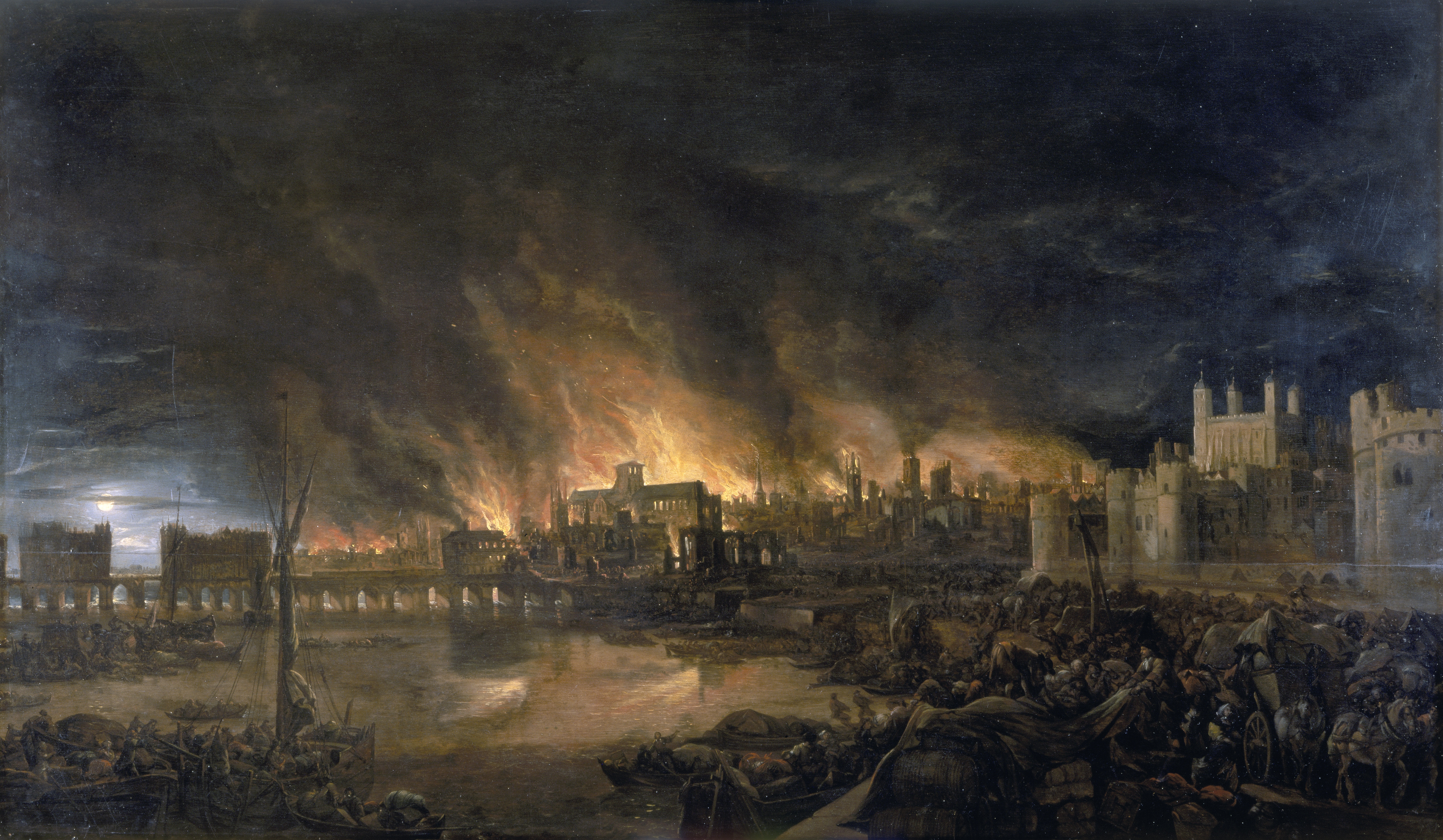
One of London's most transformative events, the Great Fire raged through the heart of the city over four days in September 1666. Beginning in a Pudding Lane bakery in the early hours of Sunday 2nd, it rapidly consumed the medieval City of London enclosed by its ancient Roman walls. The blaze also spread westwards beyond the old fortifications. Initial efforts to control the inferno, such as creating firebreaks by demolishing buildings, were delayed by the Lord Mayor's initial hesitation. By the time decisive action was taken, strong winds had escalated the fire into a firestorm that overwhelmed such measures.
As the fire advanced, devastating landmarks like St Paul's Cathedral and reaching as far as the River Fleet, fear and disorder gripped the streets. Rumours of arson led to violence directed at foreign communities, particularly the French and Dutch, who were England's adversaries in the ongoing war. While the exact death toll remains debated, the Great Fire ultimately reshaped the city's landscape and profoundly affected its inhabitants.
Original summary by TributeLegacy, informed by public sources.
Source: Open Plaques. Geographic data via OpenStreetMap.